If you love scenery and enjoy driving, here are our picks for five of the best Canadian highways you’ll ever discover.
Cabot Trail

The asphalt jewel of the Maritimes, the Cabot Trail winds in a 300-kilometre loop around Cape Breton in northern Nova Scotia. The small ports on each side, French-speaking to the west and English to the east, rise at the top of the island into rounded hills and protected forest. In Cape Breton Highlands National Park, the well-maintained federal road is as smooth as a billiard table and as curving as a snake. Make sure to drive around in an anti-clockwise direction, so you’re always next to the ocean and don’t have to look past other vehicles to the water.

Gaspé St. Lawrence shore

Highway 132 stretches east from Quebec City and out around the Gaspé Peninsula. It’s pretty as it runs along the shore of the St. Lawrence River, but once past Matane it becomes truly wonderful, hugging the water here and rising and dipping through the cliffs there. Small and colourful Quebec villages are home to artists and artisans all the way to the lighthouse at the end of the highway. Not much English is spoken, but nobody seems to care – everyone is welcome. Continue past Gaspé and through the rock cuts to visit Percé Rock, home to a quarter-million seabirds.

Lake Superior, south of Wawa

This stretch of the Trans-Canada Highway was built specifically to open up the great beauty of Lake Superior to road-trip tourism. The drive around the lake from Sault Ste. Marie, Ont., to Thunder Bay is captivating, but the shoreline section between Batchawanna Bay and Agawa Bay is perhaps the most rewarding because of its beautiful sunsets over the water. One moment you’re driving through woods, the next you burst out from a rock cut into the Canadian landscape you’ve always imagined. Summertime and fall are the best seasons; the road can be treacherous in winter.

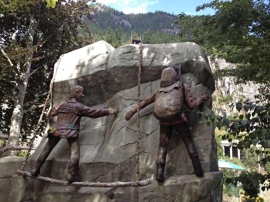
Fraser River

British Columbia is filled with fabulous roads, but for scenery, history and driving pleasure, the Trans-Canada Highway that follows the Fraser River between Hope and Cache Creek is hard to beat. Most cross-country traffic now takes the faster, straighter Coquihalla Highway, but it doesn’t run on the original route taken by Simon Fraser to explore the interior, and it doesn’t take you to ride the cable car at Hell’s Creek. The road follows tightly along the eastern shore of the fast-moving Fraser, as does the railway track alongside, and it twists and winds with the river.
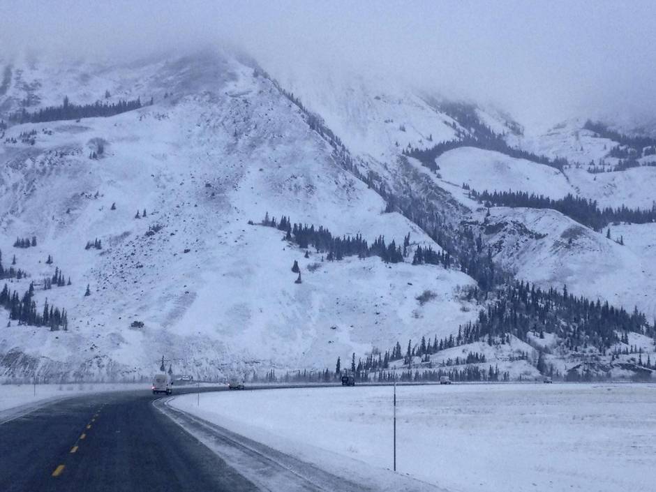
Alaska Highway
Is there any more adventurous highway in North America? Most of the Alaska Highway is in Canada, of course, leading to the Arctic U.S. state from Dawson Creek in central British Columbia. It’s all paved and mostly in excellent shape. Be prepared, though: snow can fall on any day of the year, especially in the high country of northern British Columbia. Perhaps the most breathtaking stretch is the final few hundred kilometres past Destruction Bay on Kluane Lake, heading to the border. It’s stunningly majestic in both summer and winter, with the highest mountains in Canada lining the horizon to the south.
We've redesigned the Drive section - take a look