Water is the essence of this country. In Joy Charbonneau’s artwork Hydrological Map of Canada, first created after three months in development as a limited-edition print in 2011, we see a vast land stripped of imposed borders, latitudinal hierarchies and self-important markings of human settlement, where the interconnected tracery of creeks, brooks, streams, rivers, basins and lakes is allowed to reclaim its quiet, rippling dominance. All those tiny, sinuous lines and expansive, irregular white shapes ramify and multiply to capture the constant, cyclical flow in a single image of astonishing abundance. We may appreciate how water defined our history, that it supplies our enviable prosperity, health and happiness through a ubiquitous availability to the forces of ingenuity. But as the fundamental interconnectedness of Ms. Charbonneau’s map reminds us, our water remains much more than an instrument of a human success story – at its most elemental ground-level state, pristine and uncontaminated, reclaimed and reborn, it is the nature of Canada itself. – John Allemang
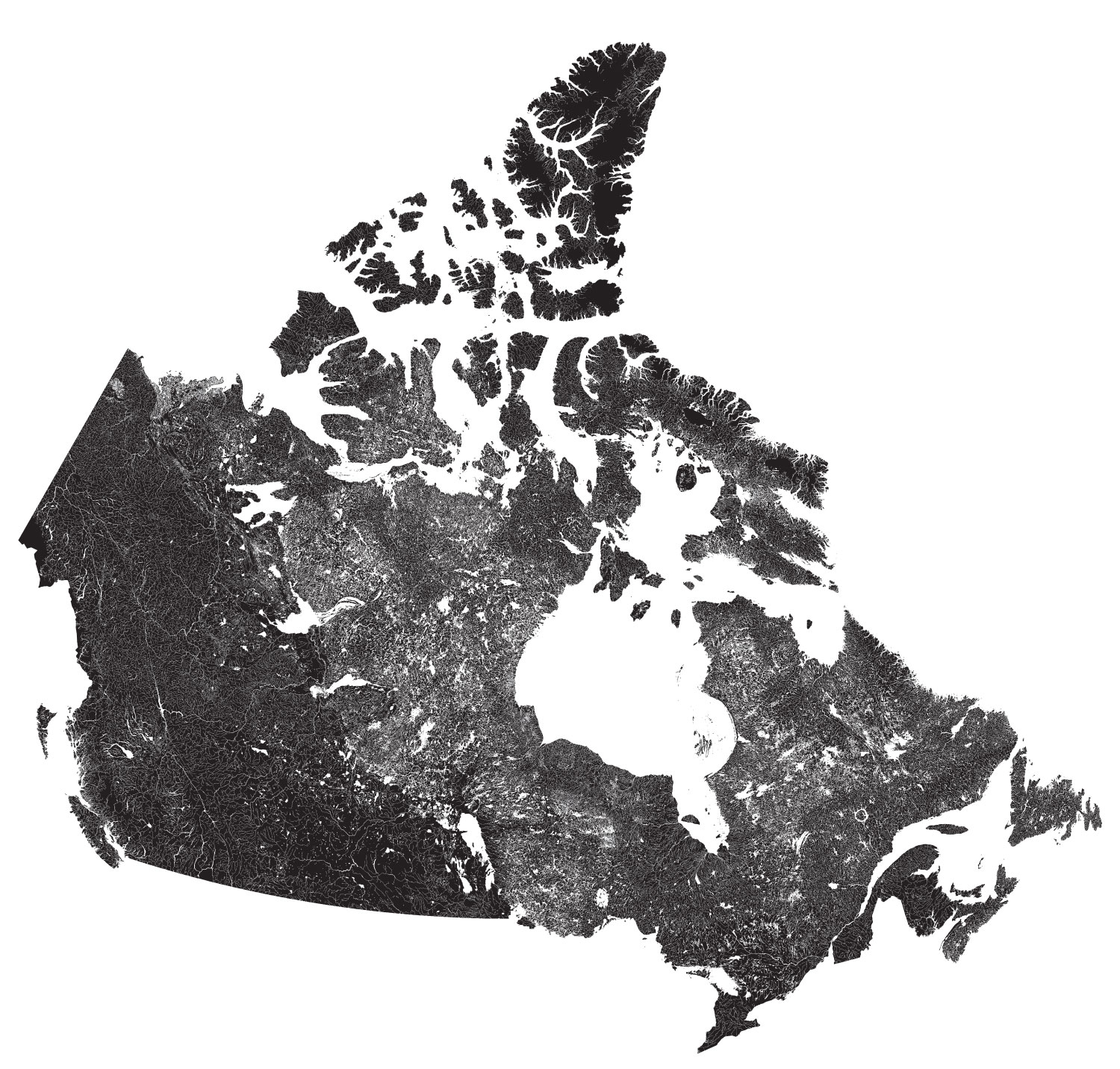
Artist Joy Charbonneau originally created the Hydrological Map of Canada as an art piece for a 2011 group exhibition called Capacity. She used publicly available data from Natural Resources Canada to make the map, inspired by her profound love and respect for the environment.

Vancouver Island

Edmonton and Calgary
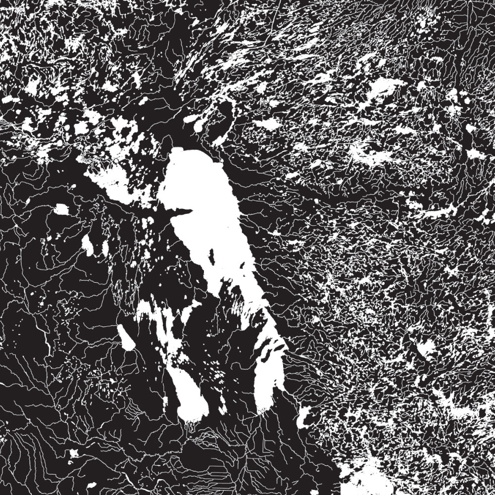
Winnipeg

The Great Lakes
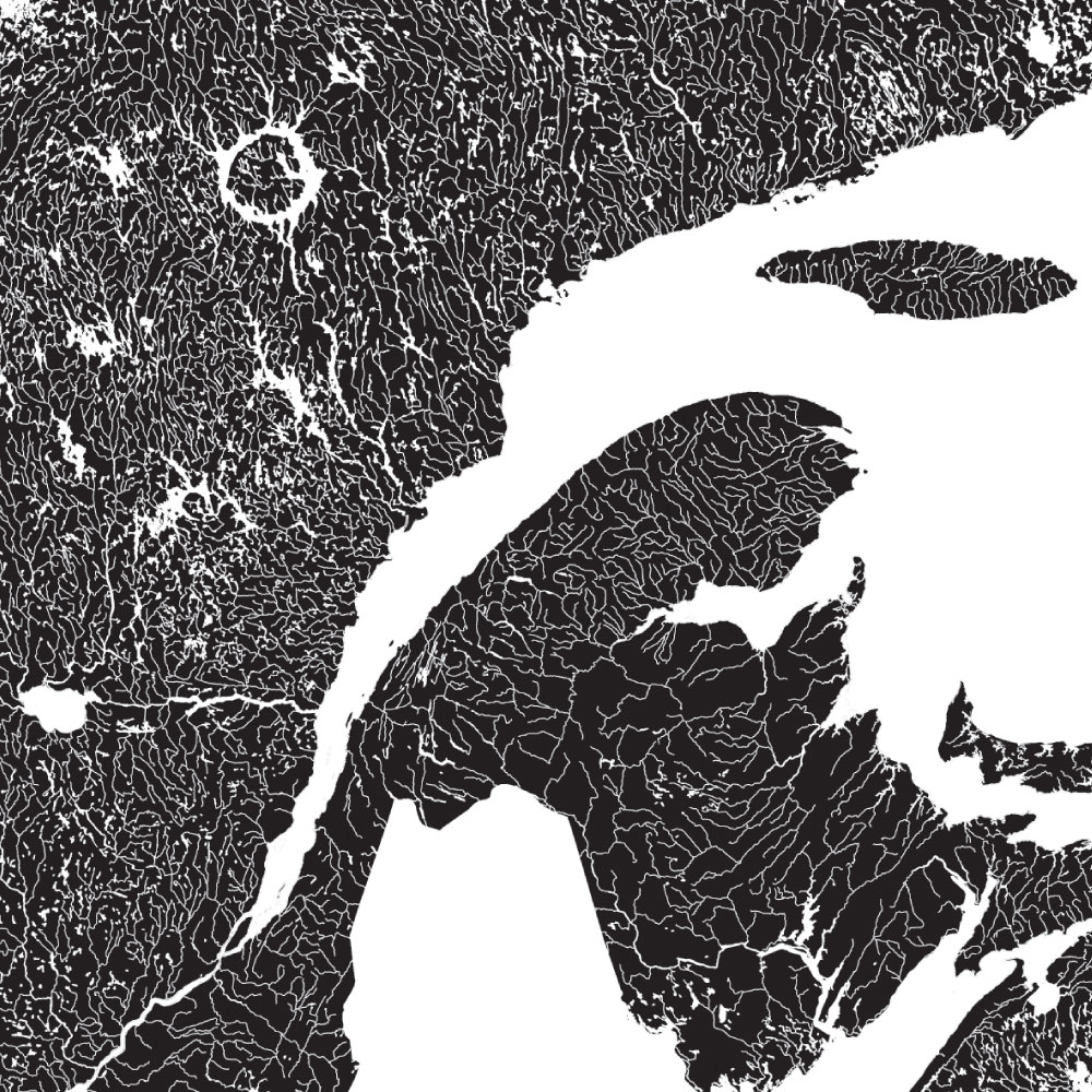
The Gaspe and St. Lawrence
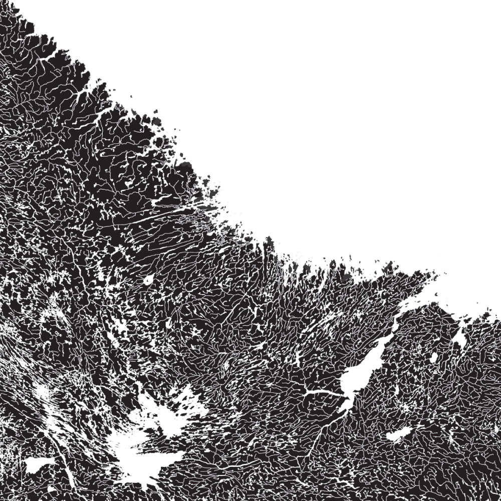
Newfoundland and Labrador