Click on the markers in the above map to see paintings from the locations.
The perception of Saskatchewan’s geography may be one of sprawling wheat fields on flat plains, but the northern part of the province is actually comprised mostly of water. The only road in, one of the last barren roads in Canada, starts in La Ronge.
Our destination is a fly-in camp at Sava Lake, Sask. – untapped, abundant territory where we will be all alone fishing within a 100-square-kilometre lease, making dreams come true by catching northern pike, trout and walleye.

We’ve chosen to take a rugged, 400-kilometre, gravel-and-dirt road to reach the float plane that’ll fly us over boreal forest into the lodge. Sure, you can save the time by flying but nothing beats bearing witness to this rare landscape from the ground. The drive through awe-inspiring terrain and infinite horizons is sensational. The skies are so crystal-clear blue, you have to squint, the lakes are so pure you can drink from them giddily.
Related: Jurewich drives and paints his way along Lake Superior
La Ronge
We’re starting this story on Highway 102, at the first Hudson’s Bay outpost in the area. Today, the sleepy town of 2,700 people is dotted with a few motels, restaurants and a renowned supply store called Robertson Trading – the source of outfitter gear and food supplies for First Nations, sportsmen, the mining industry and for us, a mandatory stop before the journey.
The lazy comfort of asphalt ends about 30 kilometres north of the village, where a big yellow sign cautions to “watch for transport trucks.” That’s an attention-getter. The transition is palpable as we ratchet down the speed from 100 km/h to a hesitant 60. The washboard effect is instant – 400 kilometres of this? Should I have brought a mouth guard? To the right is Lac La Ronge, a massive body of water and mecca for Walleye fisherman.
When leaving La Ronge, we were cautioned to look for red flags embedded on the road and to stop before moving past them. They alert drivers to severe pot holes and wash-outs, and if that’s not sufficient warning, the discarded truck parks on the roadside attest to the danger of the ruts.
Kilometre 80: Churchill River
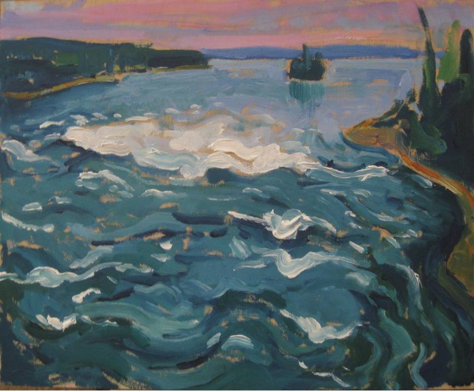
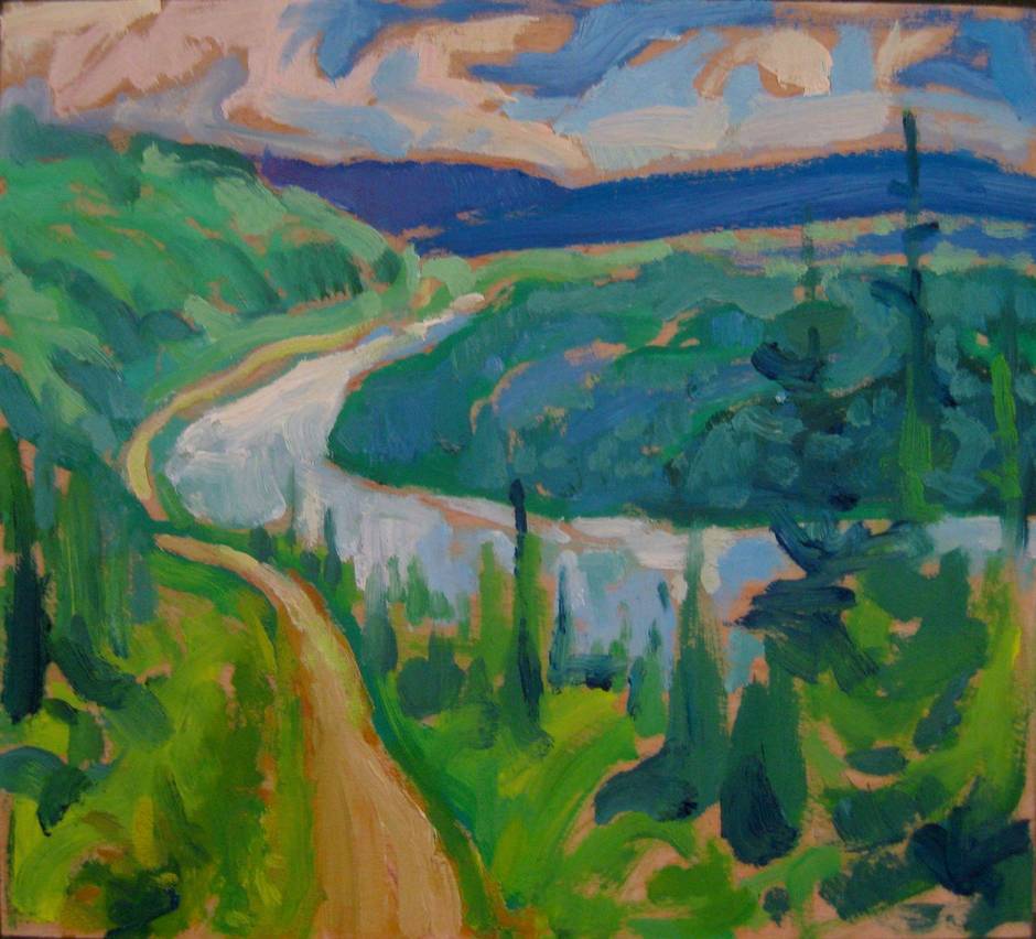
Rejecting the notion of a side trip along 915 to Stanley Mission due to time – The Holy Trinity Anglican Church, designed by an English missionary and finished in 1860, stands as the oldest building in the province – we continue on Highway 102 towards Missinipe, Sask., where Osprey Wings, a charter bush and float plane outfit, has an outlet to service the North. This rugged road cuts across one of the most majestic rivers in North America. The Otter Rapids stretches for almost a kilometre on the Churchill River, peaking at two metres. Paddlers enter on Otter Lake, about 80 km north of La Ronge, and follow a historic fur trade route. A pedestrian walkway built into a metal span bridge allows for gorgeous views. Visitors cheer as canoeists try to run the rapids; on this day, most went for dunks but all reached shore, soaked and laughing.
Kilometre 135: Eighteen-wheeler jousting
After a few close calls, you start to look ahead for dust clouds as early warnings of the oncoming rigs. It’s like a scene from Mad Max – the drivers aren’t eager to share the road, and it takes several kilometres after crossing by a transport to get clear of its dust cloud. The shoulder, well, there is no shoulder, and a transport approaching at 80 km/h needs room. You don’t want get a flat on this 400-kilometre stretch or be stranded by mechanical issues. There are no service stations.
Kilometre 202: Highway 102 and Highway 905

Just 22 kilometres from Southend, Sask., at Reindeer Lake, we turn north onto Highway 905 for a 276-kilometre trek to Points North Landing, Sask. The landscape changes with the shift into the sub-Arctic boreal forest. Everything is stumped, and mature trees are stunted by the permafrost. The dirt road ahead stretches into infinity. It would have been hard to imagine how, but the ride feels even choppier. The truck looks like a brown-caked mud pie.
Kilometre 410: Big Burn

Half way to Points North Landing, vast patches of forest-burn scar the road. It is part of nature’s house cleaning, and is an expected sight due to a tough year for fires in the West. However, such devastation and scorched bareness is humbling.
Kilometre 471: Points North

At long last, after almost seven hours on the road, we arrive at our embarkation point for the Osprey air float plane into Sava Lake. A sign on the door of the makeshift motel – built with linked trailers – reminds visitors of the dangers outside. Apparently a naive, young mining employee was killed by a pack of wolves after wandering from the compound.
The Osprey Otter can carry lots of gear and we make sure of a full load of supplies to justify the hefty cost. It’s a 40-minute flight over lakes and boreal terrain and the only signs of life below are the marked migration trails of the Caribou. The pilot offers rookies air sickness bags as nasty weather can create a bumpy ride. In a good year, the airstrip is busy with helicopters and float planes ferrying mining equipment, supplies and employees to the prospecting areas, as well as transporting fisherman from all over the world. Beyond this point, Highway 905 becomes the Athabaska seasonal road to Stoney Lake Rapids, and is only navigable in the winter over the frozen water.
Kilometre 590: Sava Lake

After flying 130 kilometres over wilderness, we touch down outside the newly finished cabin/lodge at Sava Lake. This is the only human footprint here. My fishing companion, John Goldsmith, and I create our own pathways, travelling by canoe, cutting trails around swirling rapids into unknown lakes. Fishing highlights at a catch-and-release lake: 47-inch northern pike and 7-9 pound walleye. We’ll come back to visit.
Like us on Facebook
Add us to your circles
Sign up for our weekly newsletter.