A person walks with their dog along Dow's Lake in Ottawa on Saturday, Jan. 13, 2024.Spencer Colby/The Canadian Press
Winter storms are barrelling across Eastern Canada this weekend bringing heavy snowfall and strong winds as Western provinces grapple with extreme cold.
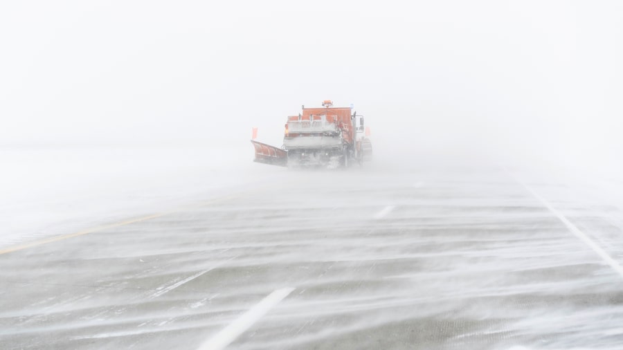
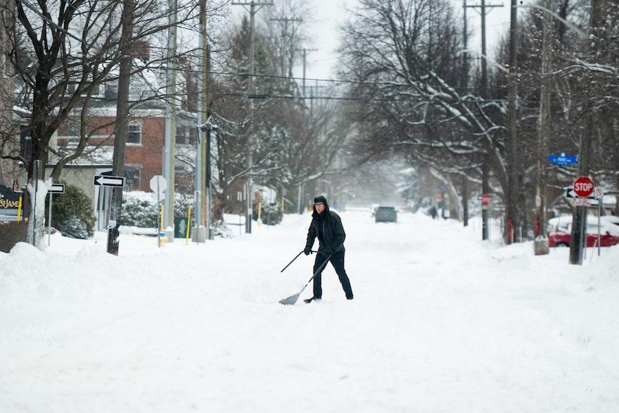
A windstorm dumped between 15 and 30 centimetres of snow Saturday in parts of Ontario, causing thousands of power outages and dozens of flight cancellations at Toronto’s Pearson International Airport. Strong wind gusts caused reduced visibility, and the provincial police cautioned drivers to delay non-essential travel until conditions improved.
Similar weather affected most of Quebec, with heavy snowfalls and intense winds from Gatineau to Gaspé and the Côte-Nord region on Saturday. Environment Canada said around 15 cm of snow was expected in Montreal.
All the extreme weather events hitting Canada this weekend
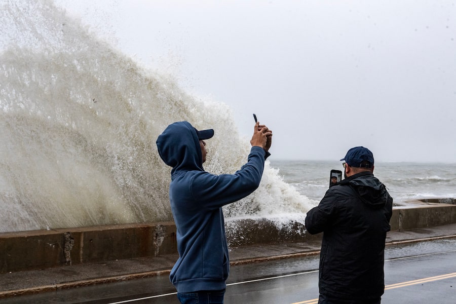
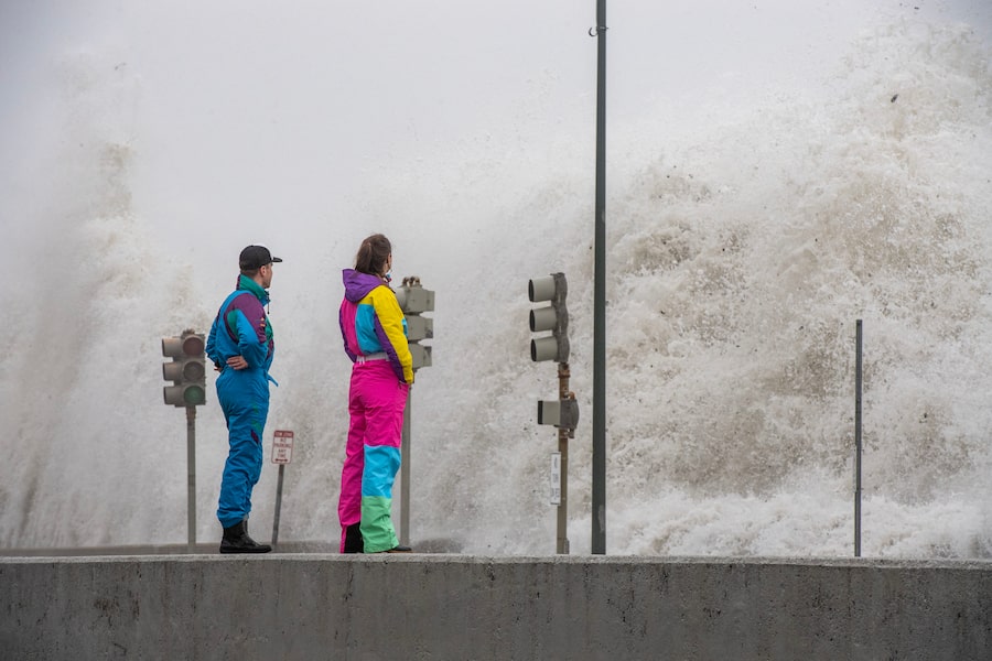
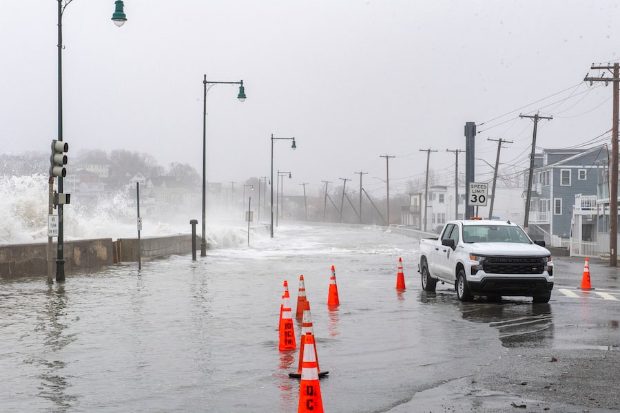
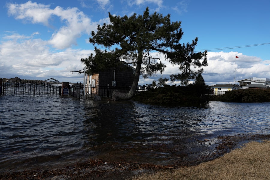
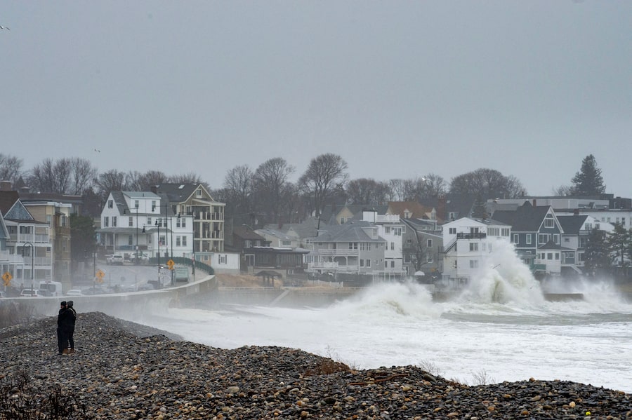
The federal agency said parts of Nova Scotia, Prince Edward Island and New Brunswick could see strong winds with gusts over 90 kilometres an hour. Storm surge warnings are also in coastal areas in some parts of the Maritimes and Newfoundland and Labrador.
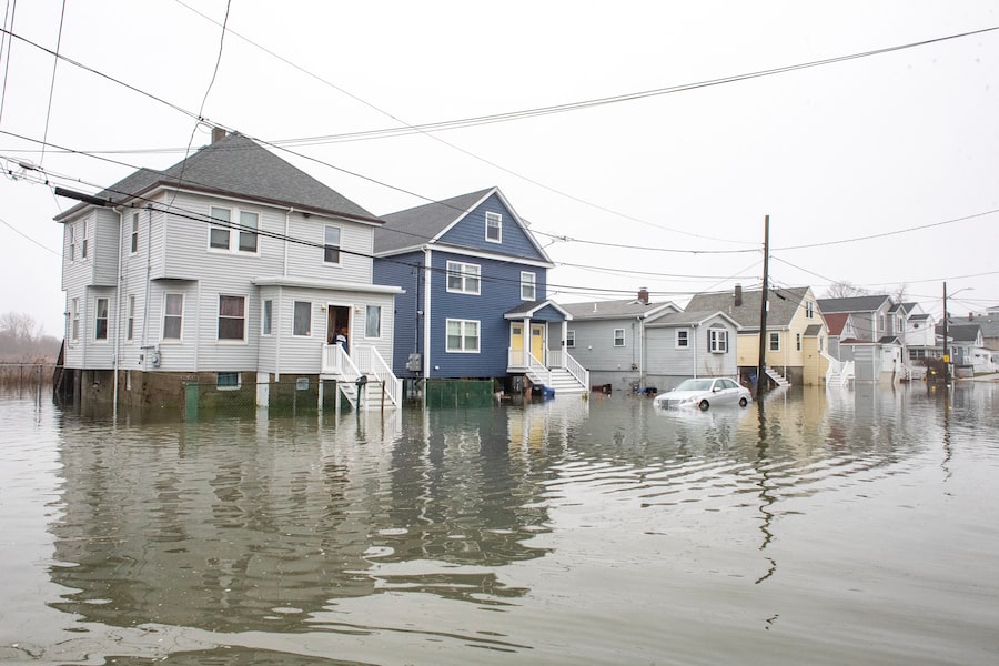
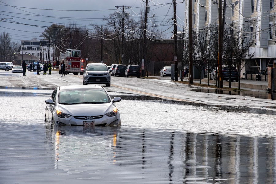
Northern New Brunswick is expecting an initial layer of snow and ice pellets beginning Saturday, but the warm air associated with the system means most of the East Coast will see the snow turn to rainfall in the afternoon and overnight.
Jean-Marc Couturier, a forecaster at Environment Canada, said the strong winds will drive large waves on coastlines, including Nova Scotia’s Atlantic shore, the Acadian Peninsula and the Magdalen Islands.
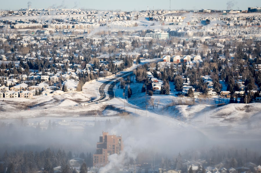
Out west, extreme cold warnings covered most or all of Manitoba, Saskatchewan, Alberta and British Columbia, along with Yukon, and the Northwest Territories. Wind chills could reach below minus 40 in most of these areas and minus 55 or colder in parts of Alberta and Saskatchewan.
In Metro Vancouver and Greater Victoria, wind chills were near minus 20.
Environment Canada meteorologist Ross Macdonald said in an interview that temperatures were about 10 to 20 degrees below normal in regions affected by extreme cold warnings.
“Temperatures have plummeted and are actually very hazardous depending on where you are, especially if you’re in the interior of British Columbia or Alberta where frost bite can happen within minutes,” Mr. Macdonald said.
Extreme cold in these regions is expected to persist through the weekend and temperatures will gradually climb back to normal in the beginning of next week, the meteorologist said.
Toronto faced no weather alerts but accumulations of about 5 cm of snow overnight along with high winds and low visibility impacted operations at Pearson International Airport, spokesperson Stephanie Smyth said.
As of 11 a.m. Saturday, 90 flights were cancelled at Pearson along with 44 flights at Montreal-Trudeau International Airport, according to aviation data website FlightAware.
“As operations gradually return to normal, some light rain and continued strong winds mean we may still experience flight delays and cancellations,” Ms. Smyth said in an e-mail.
Hydro One reported more than 14,000 customers without power in southern Ontario Saturday morning, while more than 3,600 Hydro-Québec customers were in the dark.
The United States National Weather Service also warned of winter storms and high winds in states around the Great Lakes, New England and the Midwest.
“Snow will gradually taper off across the northern Plains into the upper Midwest” Saturday night, the agency said in its latest storm summary, and blizzardlike conditions are expected through the evening.
-With a report from The Canadian Press
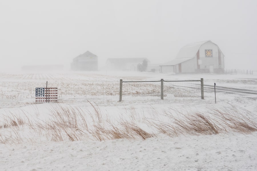
An American flag is seen fixed to a farm fence along US Highway 20 during a blizzard near Galva, Iowa.Carolyn Kaster/The Associated Press
1 of 12